5 October 2023
Blog entry by Duncan Dale
We have now finished our work along the Grand Banks section where we successfully carried out a whole bunch of different tasks in the ongoing great weather. We deployed four moorings, conducted 15 CTD and ADCP casts, placed three landers on the sea floor and collected seawater from multiple depths in three locations to analyse for their tracer content. If that sounds like a lot of jargon, here’s a brief introduction to some of the concepts and instruments we’ll encounter on this expedition:
CTD – Conductivity, Temperature, Depth
The CTD is a device that allows us to measure crucial parameters such as salinity (derived from conductivity), temperature, and the depth of the water column between the ship and the seafloor. This helps us know what body of water we are currently measuring, for example the Gulf Stream mentioned in the last post is distinctively warm and salty compared to the more Arctic-influenced colder waters to the north. The CTD is “cast” on a very long cable from the ship down to the sea floor, which is over 4500 meters deep for some of our stations. Accompanying the CTD is a ring of 22 open bottles (delightfully called a “rosette”) that can be closed to sample seawater from any depth below the ship.
ADCP – Acoustic Doppler Current Profiler
This device helps us determine the speed and direction of ocean currents. It travels down on the same frame as the CTD and allows us to record how the ocean is moving down the full depth of each cast. This helps us build up a picture of where ocean currents are flowing and how strong and variable they are.
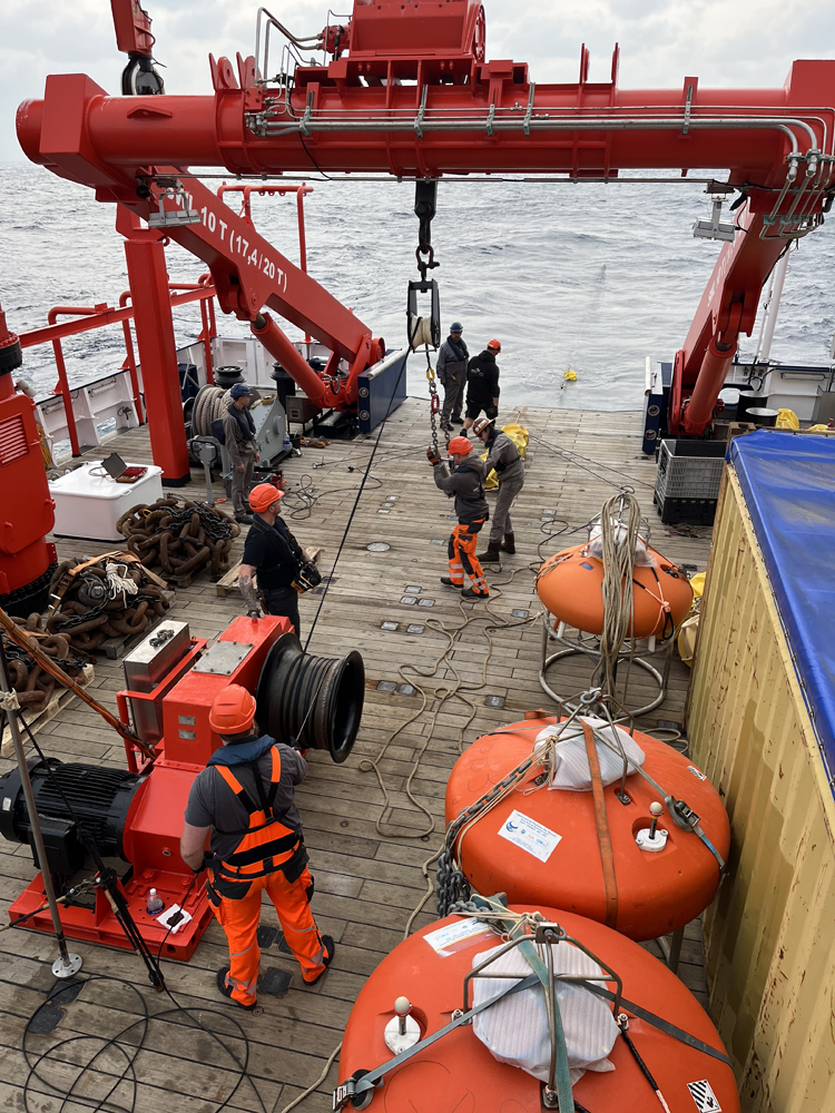
Moorings
This is a general term for a cable attached (moored) to the sea floor by a heavy weight with one or more instruments floating at a specific height in the water above. We talked about some examples of these we already deployed in the previous post.
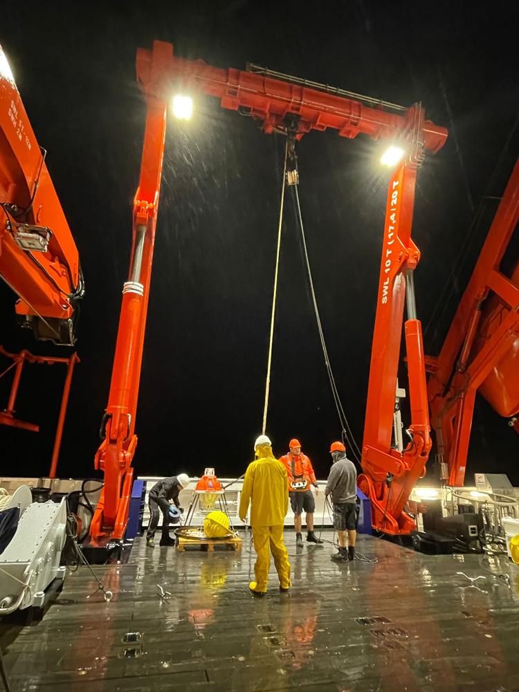
Landers
These are a bit like moorings but are a single unit dropped to the ocean floor where they sit happily recording with whatever instruments they have been kitted out with. They have a release mechanism that can release the instrument to the surface after a period of monitoring. In our case, we are deploying two kinds that will be used in tandem:
PIES – Pressure Inverted Echo Sounder
This sits on the ocean floor measuring the travel time of acoustic signals from the seafloor to the surface and back. We deployed one here at Grand Banks which will allow us to estimate the volume of ocean flowing past offshore of the mooring array.
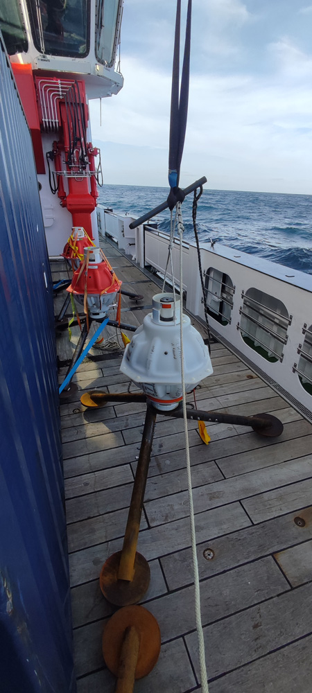
Drift-correcting bottom pressure recorders
These instruments use pressure sensors to measure bottom pressure and the travel time of acoustic signals from the seafloor to the surface and back as well. We can use variations in bottom pressure between different instruments to continuously quantify the volume of currents in the vicinity, making them invaluable for studying ocean transport variability. Existing sensors are only accurate to about 0.4% due to instrumental “drift” over time at such high pressures. That doesn’t sound like much but is about 16 meters at 4000 meters depth. These devices are a new kind of bottom pressure recorder we are testing as part of EPOC that can correct for this drift and hopefully reduce the uncertainty to about 1 cm.
Tracers
We will have a special post from one of our tracer oceanographers soon but for now: these are chemicals present in different amounts in seawater that can be used to estimate the “life history” of a seawater sample, i.e. where it’s been and how long it took to get there.